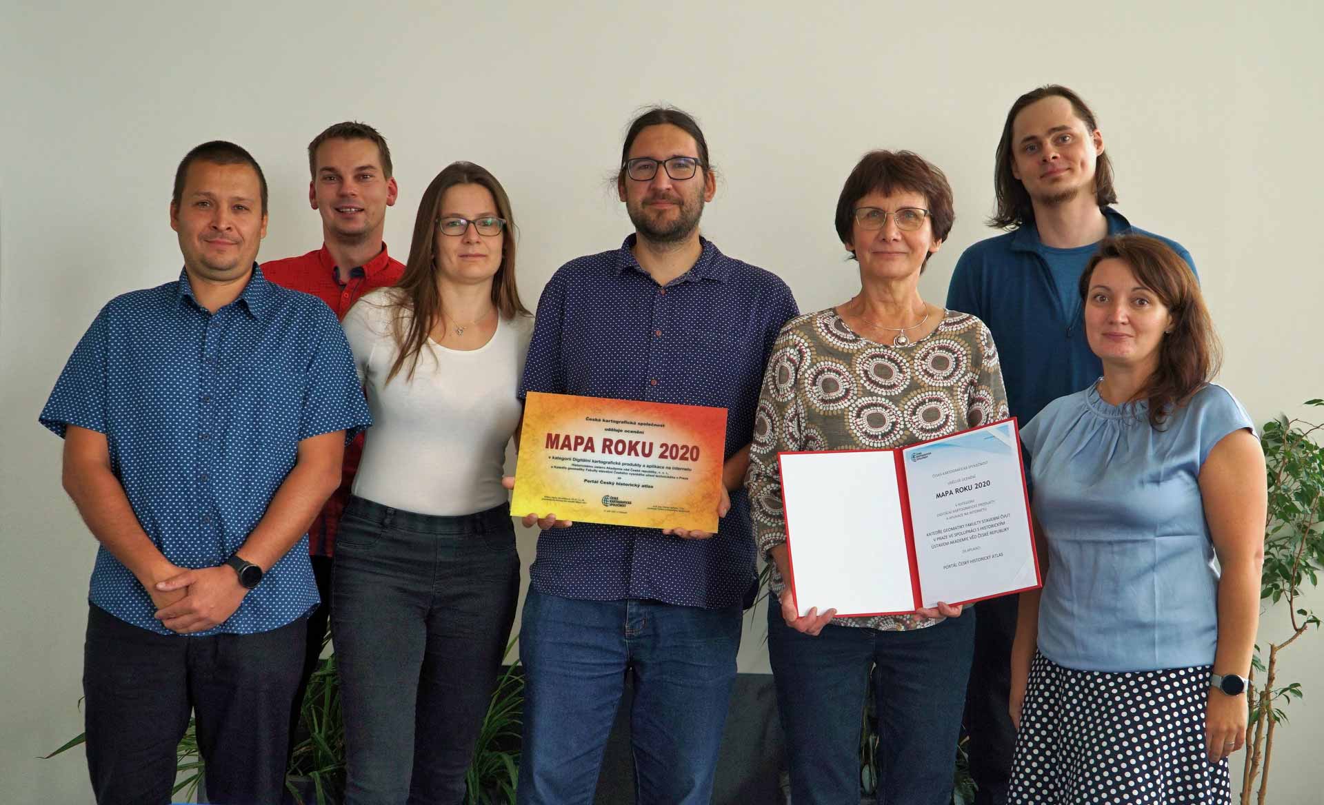
The Czech Historical Atlas Portal, created by the Department of Geomatics at the Faculty of Civil Engineering CTU in Prague in cooperation with the Institute of History of the Academy of Sciences of the Czech Republic, has won first place among four nominated prestigious works in the 23rd Map of the Year annual competition organized by the Czech Cartographic Society.
The portal, created under the supervision of prof. Jiří Cajthaml at the Department of Geomatics, covers Czech history in an international context. It is a set of web map applications using the latest GIS technologies. It contains functions enabling user interactivity with the map, e.g. searching, linking with texts and images, combining layers, providing the map export option. The area of interest are the Czech Lands from prehistoric times to the end of the 20th century, with an overlap into the Central European space.
Congratulations on your success!
The portal can be visited here: https://cha.fsv.cvut.cz/
Responsible: prof. Ing. Karel Kabele, CSc.

Address
Czech Technical University in Prague
Faculty of Civil Engineering
Thákurova 7/2077
166 29 Praha 6 – Dejvice
PR & Media
Czech Technical University in Prague
Faculty of Civil Engineering
Thákurova 7/2077
166 29 Praha 6 – Dejvice
To provide the best experiences, we and our partners use technologies like cookies to store and/or access device information. Consenting to these technologies will allow us and our partners to process personal data such as browsing behavior or unique IDs on this site and show (non-) personalized ads. Not consenting or withdrawing consent, may adversely affect certain features and functions.
Click below to consent to the above or make granular choices. Your choices will be applied to this site only. You can change your settings at any time, including withdrawing your consent, by using the toggles on the Cookie Policy, or by clicking on the manage consent button at the bottom of the screen.