The study in this program is subjected to tuition fees charged.
The doctoral degree programme focuses on innovations, the development and applications of technologies for spatial data acquisition, the utilisation and interpretation.
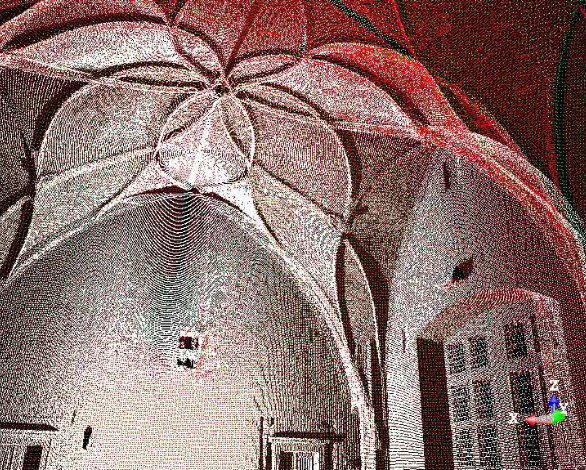
The branch of geodesy and cartography is currently undergoing extensive digitization and electronization, numerous activities are being mechanized, measurements are constantly accelerated and more refined. Research and development trends are also moving forward, automatic or semi-automatic data acquisition and processing – specifically 3D data, mobile mapping, data obtained by aerial manned and unmanned vehicles – are becoming increasingly more important, and last but not least the phenomenon of the future – BIM – deserves to also be mentioned. The ultimate goal is to educate professionals who will be at the forefront of this development.
The graduates of the GC programme will find employment as, e.g.:
GUARANTOR AND BRANCH BOARD CHAIR OF THE DOCTORAL DEGREE STUDY PROGRAMME OF
GEODESY AND CARTOGRAPHY
Responsible: prof. Dr. Ing. Bořek Patzák

Address
Czech Technical University in Prague
Faculty of Civil Engineering
Thákurova 7/2077
166 29 Praha 6 – Dejvice
PR & Media
Czech Technical University in Prague
Faculty of Civil Engineering
Thákurova 7/2077
166 29 Praha 6 – Dejvice
To provide the best experiences, we and our partners use technologies like cookies to store and/or access device information. Consenting to these technologies will allow us and our partners to process personal data such as browsing behavior or unique IDs on this site and show (non-) personalized ads. Not consenting or withdrawing consent, may adversely affect certain features and functions.
Click below to consent to the above or make granular choices. Your choices will be applied to this site only. You can change your settings at any time, including withdrawing your consent, by using the toggles on the Cookie Policy, or by clicking on the manage consent button at the bottom of the screen.